In this piece of work, we tend to describe and visualize Algeria. We mainly apply spatial visualization including interactive features.
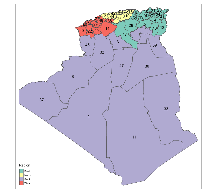
Algeria is considered the largest country in Africa with a total surface of 2.382 million km². The country benefits from numerous natural endowments range from oil and gas to the agriculture land. Besides natural resources, Algeria has a population exceeds 40 million people where youth covers 45% of the population. On the other hand, the desert in Algeria is considered one of the hottest in the world and covers significantly a large area of the country.

The country is administratively divided into 48 provinces (wilaya).